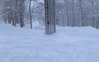
*3cm has fallen in the last 24 hours in Niseko. At 7:00 today the temperature was -5°C. Some fresh snowfall!! Not quite the amount we dreamt about last night but a welcome sight none the less! It is presently snowing lightly – the wind is forecast to increase so ‘Up and Atom!’. The snowfall is really forecast to hit later today bringing with it full on blizzard conditions. Let’s hope that after the storm passes the mountain gets a reset and we are once again bouncing around in bottomless powder.
Snowfall in Niseko, 10 January 2017
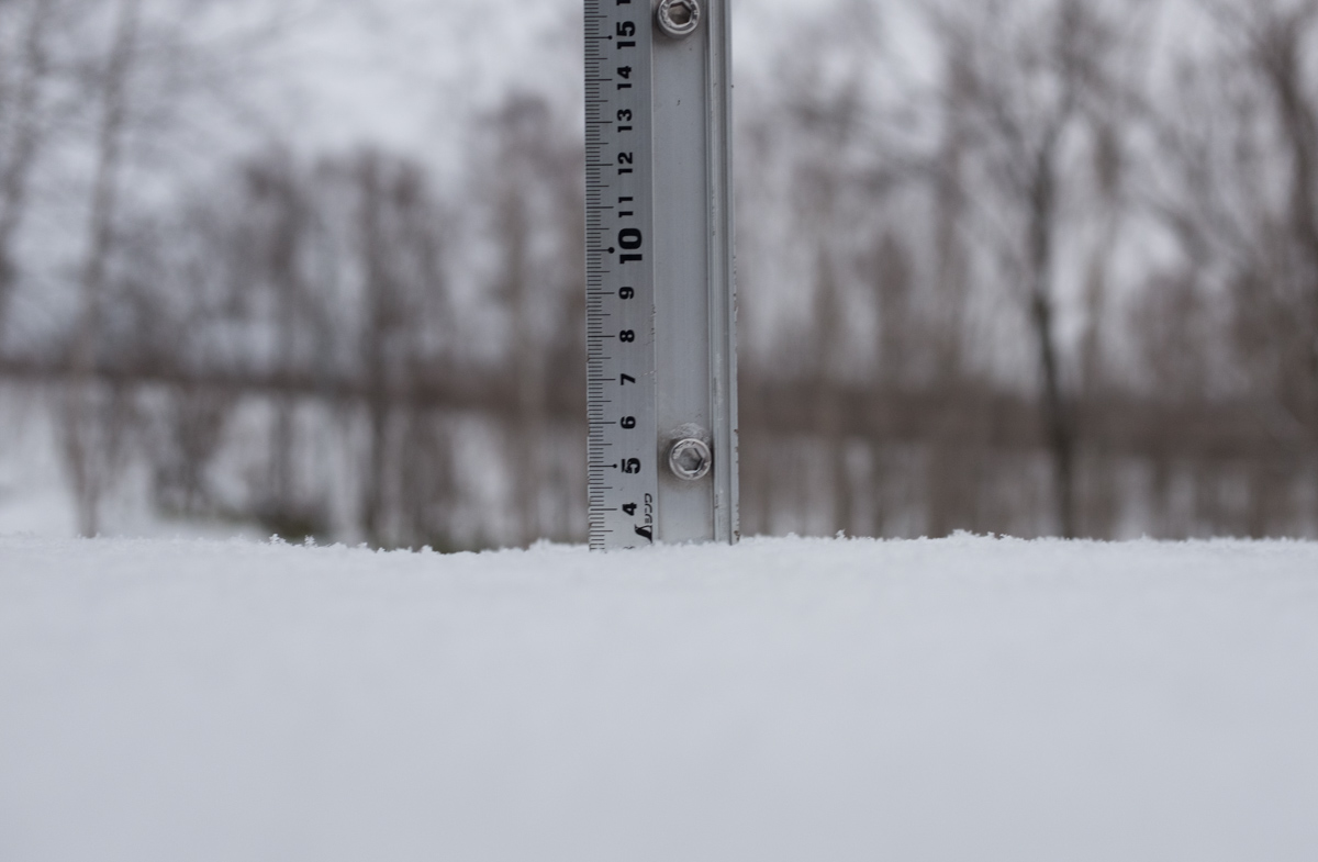
Niseko Snapshot
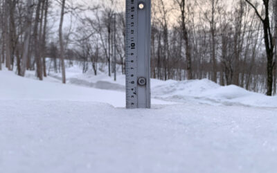
Higashiyama backwater – 9th January 2017

Higashiayama backwater, 9 January 2017
Useful information from other places
- Accumulative snow fall to date in Niseko, 325cm
- Snow depth at the peak, 235cm
- Snow depth at the base, 85cm
- Real time lift operations.
- JMA’s six hour precipitation forecast, possibly the most accurate weather map
- Snow Forecast 6 day weather summary
- The latest Niseko avalanche report.
Snow Forecast
360niseko Snow Station Readings Disclaimer
The 360niseko snow station is now in a new location for the 2016-17 between Hirafu and Higashiyama at 200m in altitude. There is 27m difference in altitude to last seasons position in lower Hirafu village 227m. *The Hirafu Gondola is at 305m. Please be aware that this new reading is NOT in Hirafu village but a few kilometers down the road. There is always a deviation how and where the snow falls – the area is famous for micro climates and mini weather patterns. Some days there may be 10cm in Annupuri and 25cm in Hanazono and vice versa – some days 30cm of fresh snowfall comes down everywhere!! Altitude plays a big part as well so please don’t take the 360niseko snow readings as being definitive – the readings are what is outside our house on the ground.