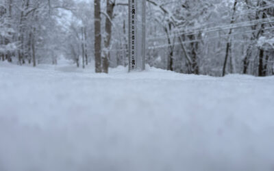
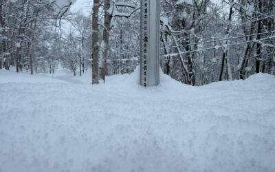
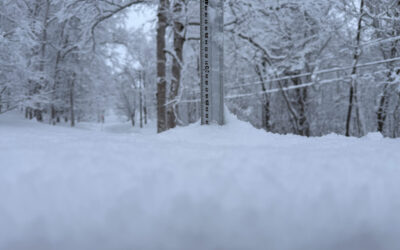
*13cm or more has fallen in the last 24 hrs in Niseko. At 7:00 today the temperature was -2°C. This morning we have moderate winds warmer temperatures and a thick layer of very heavy wet snow. Trees and cables are literally bending under the weight. The wind is forecast to increase through out the day. Conditions will be nasty today on and off the mountain. Take care out there.
Useful information from other places
- Accumulative snow fall to date in Niseko, 552cm
- Snow depth at the peak, 295cm
- Snow depth at the base, 150cm
- Real time lift operations.
- JMA’s six hour precipitation forecast, possibly the most accurate weather map
- Snow Forecast 6 day weather summary
- The latest Niseko avalanche report
- The latest Shiribeshi avalanche report
360niseko Snow Station Readings Disclaimer
The 360niseko’s snow station for the 2021-22 season is in Higashiyama at 200m *The Hirafu Gondola is at 305m. Please be aware that this new reading is NOT in Hirafu village but a few kilometers down the road. There is always a deviation how and where the snow falls – the area is famous for micro climates and mini weather patterns. Some days there may be 10cm in Annupuri and 25cm in Hanazono and vice versa – some days 30cm of fresh snowfall comes down everywhere!! Altitude plays a big part as well so please don’t take the 360niseko snow readings as being definitive – the readings are taken from what is outside our house on the ground.
2020-21シーズンの360nisekoのスノーステーションは東山の200mにあります。*ヒラフゴンドラは305mにあります。この新しい読み物は平府村ではなく、数キロ先にあることに注意してください。雪が降る方法と場所には常に偏差があります。この地域は、微気候と小さな気象パターンで有名です。アンヌプリで10cm、ハナゾノで25cm、またはその逆の日もあります。30cmの新雪がいたるところに降り注ぐ日もあります。高度も重要な役割を果たします。360nisekoの雪の測定値を決定的なものと見なさないでください。測定値は、家の外の地面から取得されます。


