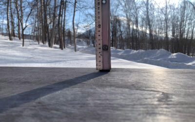
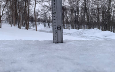
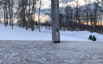
* 28 cm has fallen in the last 24 hours in Niseko. At 6:15 am today the temperature was -7.8 °C.
The powder machine really kicked in across the day yesterday and the majority of the 24 hour snowfall happened during daylight hours with 25 cm’s in the 12 hours from yesterdays report time. Snow has just started to fall agin now (6.15AM) and needless to say it will be deep everywhere.
Up high there could be double the snow there is here at 300m and with most of the off piste areas untouched for a most of yesterday afternoon it’s going to be better than yesterday which was pretty good. So pack a warm drink and go it’s another potential all day hit-out.
360 Tip #3. M.ay as well get a week ticket looking at the forecast.
If you want to see what the snow is doing live just jump on the live feed of Hirafu Zaka at the bottom of the page.
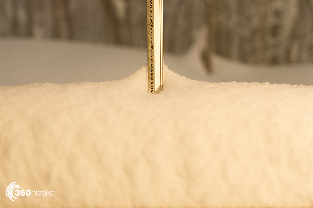
Snowfall in Niseko 18_12_2017
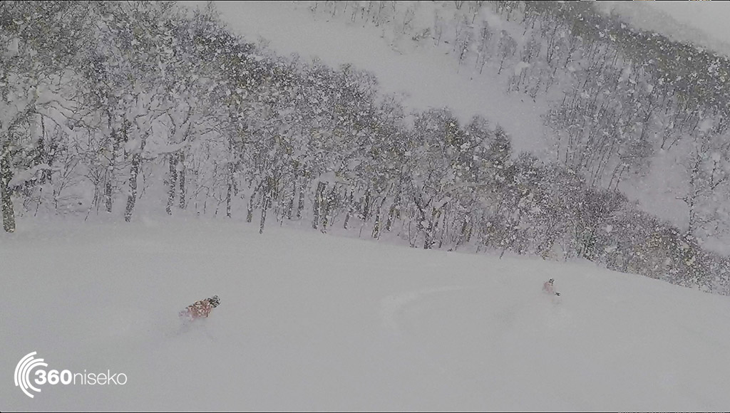
Gorillas in the mist yesterday at Moiwa.
Useful information from other places
- Accumulative snow fall to date in Niseko, 428.5 cm
- Snow depth at the peak, 255cm
- Snow depth at the base, 95cm
- Real time lift operations.
- JMA’s six hour precipitation forecast, possibly the most accurate weather map
- Snow Forecast 6 day weather summary
- The latest Niseko avalanche report.
- Please follow the Niseko Rules.
Live Web Cam from Hirafu Village
Snow Forecast
360niseko Snow Station Readings Disclaimer
The 360niseko now has 2 snow stations for the 2017-18 season in Higashiyama at 200m and 300m *The Hirafu Gondola is at 305m. Please be aware that this new reading is NOT in Hirafu village but a few kilometers down the road. There is always a deviation how and where the snow falls – the area is famous for micro climates and mini weather patterns. Some days there may be 10cm in Annupuri and 25cm in Hanazono and vice versa – some days 30cm of fresh snowfall comes down everywhere!! Altitude plays a big part as well so please don’t take the 360niseko snow readings as being definitive – the readings are what is outside our houses on the ground.