*0.5cm has fallen in the last 24 hours in Niseko. At 07:00 today the temperature was 0°C. The cold snap has continued and we have nice layer of fresh snowfall in Niseko. It is presently still snowing and the stoke level is high! Conditions on the mountain should be greatly improved and higher up on the mountain…we should even have spring pow turns up for grabs. Visibility may not be great but at this stage the winds are low so we have to take the good with the bad 😉 Today could be the last chance for spring pow with conditions expected to slowly warm up into next week. This weekend is the last for operations in Niseko Hanazono so definitely head over there for a few laps as the snow coverage is still great top to bottom!
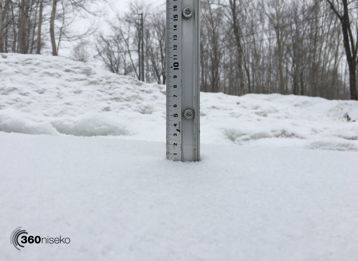
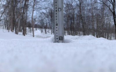
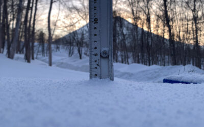
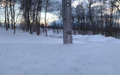
Snowfall in Niseko, 7 April 2018

Fresh snowfall! 7 April 2018
Useful information from other places
- Accumulative snow fall to date in Niseko, 1398cm
- Snow depth at the peak, 425cm
- Snow depth at the base, 130cm
- Real time lift operations.
- JMA’s six hour precipitation forecast, possibly the most accurate weather map
- Snow Forecast 6 day weather summary
- The latest Niseko avalanche report.
Live Web Cam from Hirafu Village
Snow Forecast
360niseko Snow Station Readings Disclaimer
The 360niseko’s snow station for the 2017-18 season is in Higashiyama at 200m *The Hirafu Gondola is at 305m. Please be aware that this new reading is NOT in Hirafu village but a few kilometers down the road. There is always a deviation how and where the snow falls – the area is famous for micro climates and mini weather patterns. Some days there may be 10cm in Annupuri and 25cm in Hanazono and vice versa – some days 30cm of fresh snowfall comes down everywhere!! Altitude plays a big part as well so please don’t take the 360niseko snow readings as being definitive – the readings are what is outside our house on the ground.