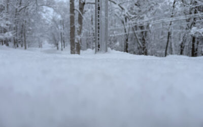
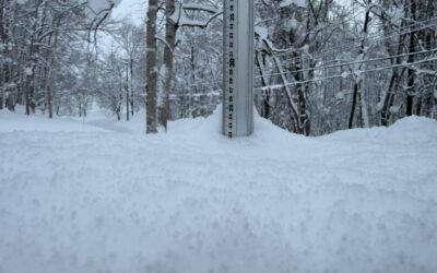
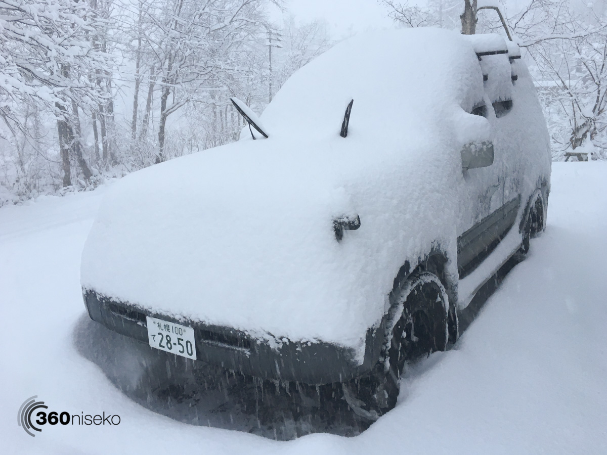
*35cm has fallen in the last 24 hours in Niseko. At 6:30 today the temperature was -8°C and it is still snowing. It has been an amazing 24 hrs of snowfall and the snowfall shows no signs of letting up with cold temperatures and continued heavy snowfall forecast all day. For those living in the Niseko region caution is advised out there on the roads – it will be very dangerous with low visibility and icy roads. Allow extra time to do whatever you have to do and allow for snow-clearing and above all don’t rush.
Looking into the week ahead temperatures will remain cold at night however we will see a few warmer days and the usual early season temperature fluctuations will continue. At higher elevations the snowpack will remain relatively solid however at village level it looks like it will be a slush fest Tuesday / Wednesday.
Snowfall in Niseko, 20 November 2017
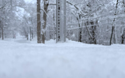
12 Hours of Snowfall! 20 November 2017
Useful information from other places
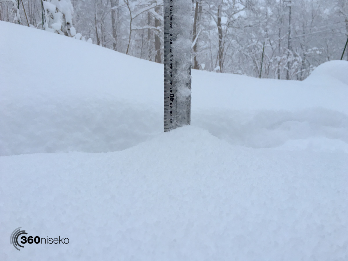
- Accumulative snow fall to date in Niseko, 95cm
- JMA’s six hour precipitation forecast, possibly the most accurate weather map
- Snow Forecast 6 day weather summary
- Please follow the Niseko Rules.
Snow Forecast
360niseko Snow Station Readings Disclaimer
The 360niseko now has 2 snow stations for the 2017-18 in Higashiyama at 200m and 300m *The Hirafu Gondola is at 305m. Please be aware that this new reading is NOT in Hirafu village but a few kilometers down the road. There is always a deviation how and where the snow falls – the area is famous for micro climates and mini weather patterns. Some days there may be 10cm in Annupuri and 25cm in Hanazono and vice versa – some days 30cm of fresh snowfall comes down everywhere!! Altitude plays a big part as well so please don’t take the 360niseko snow readings as being definitive – the readings are what is outside our houses on the ground.