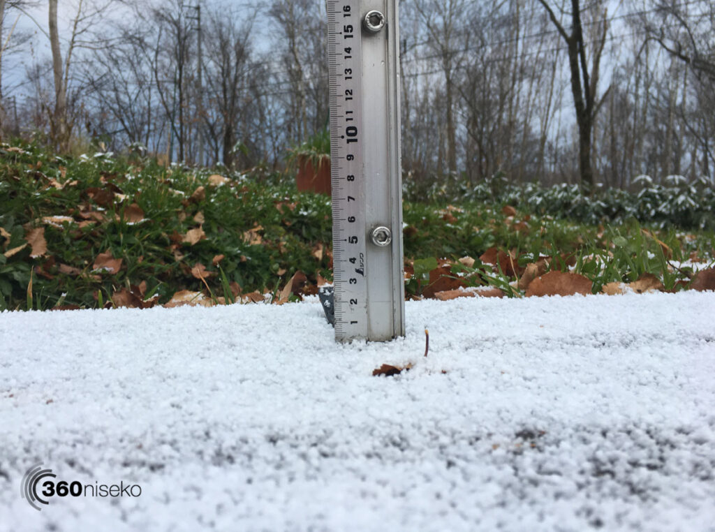
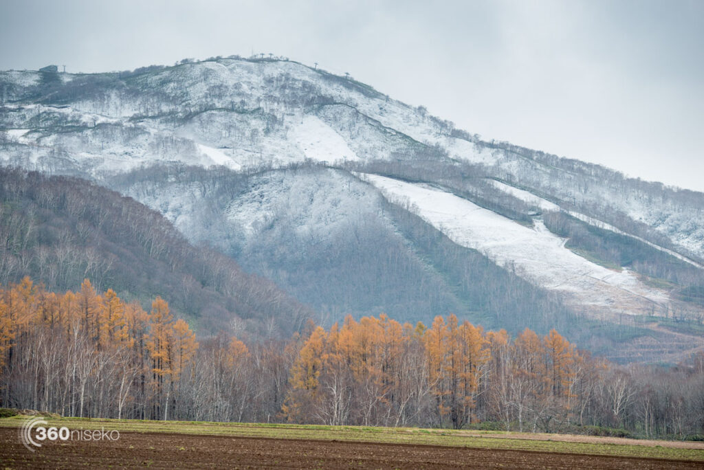
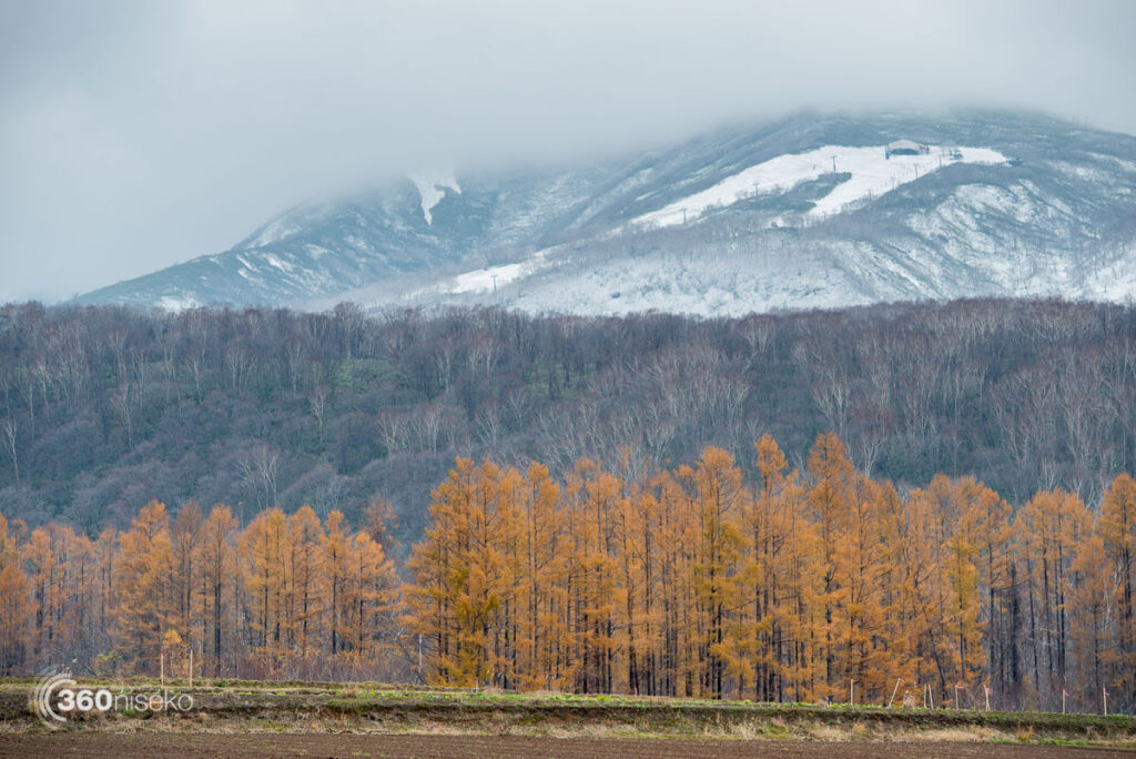
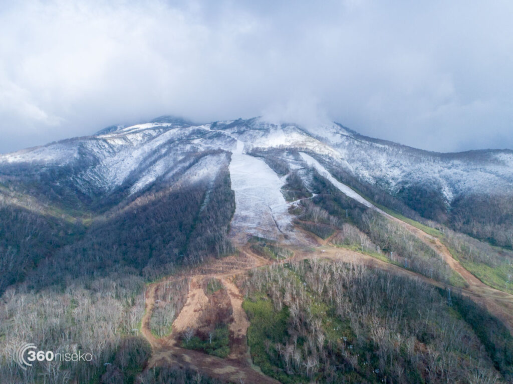
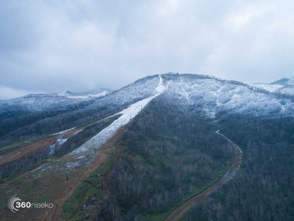
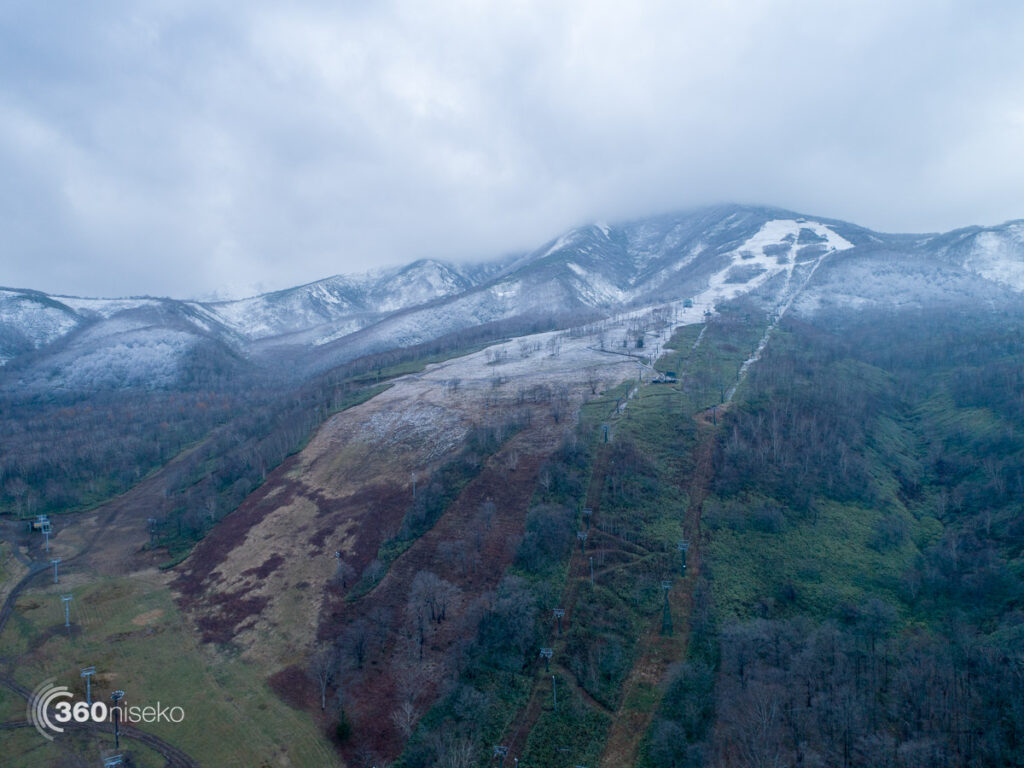
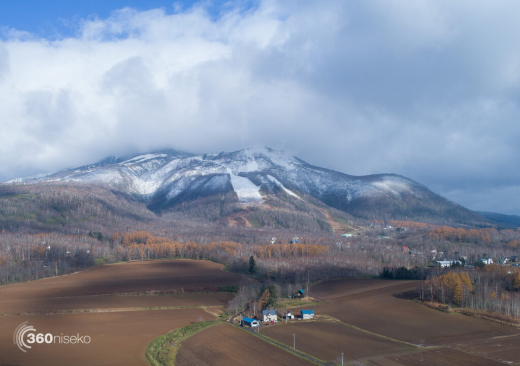
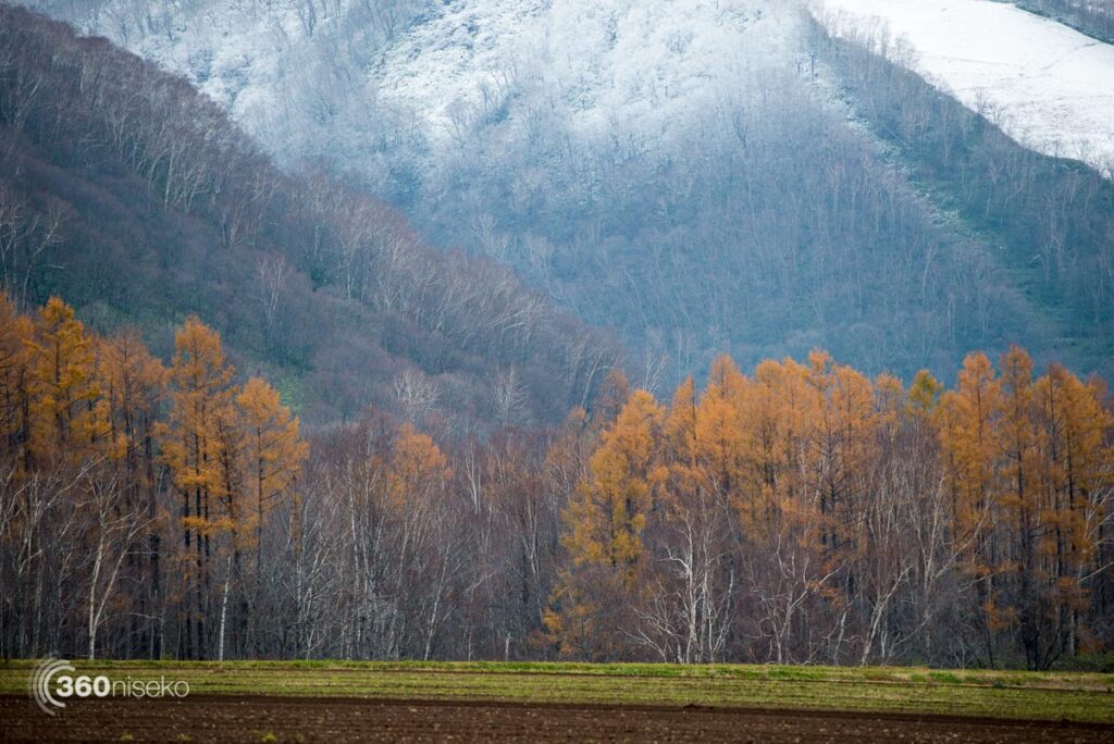
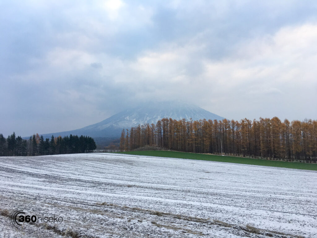
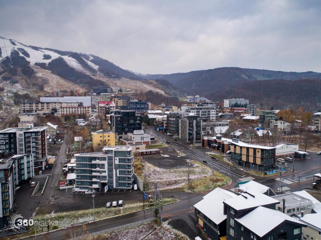
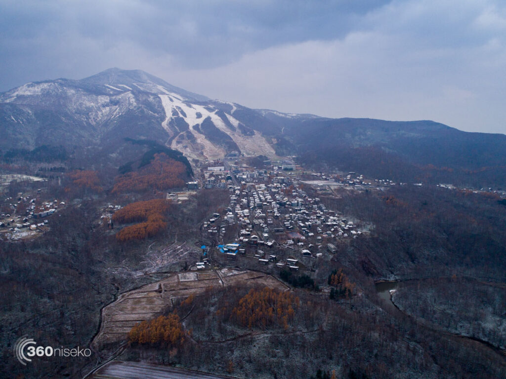
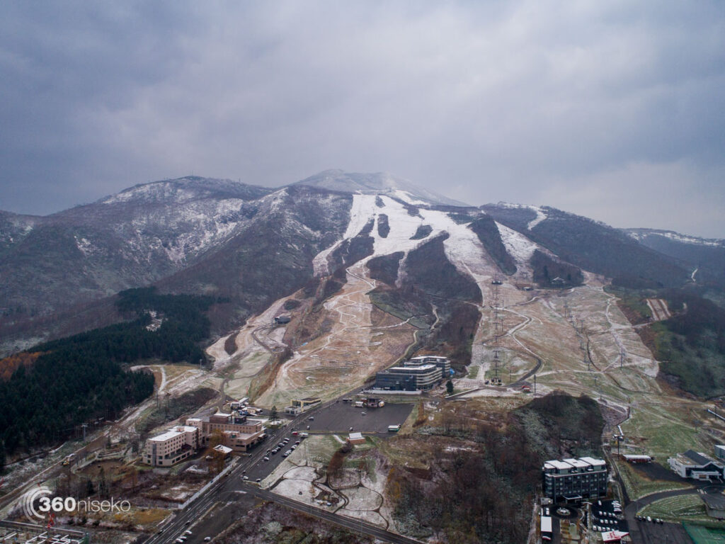
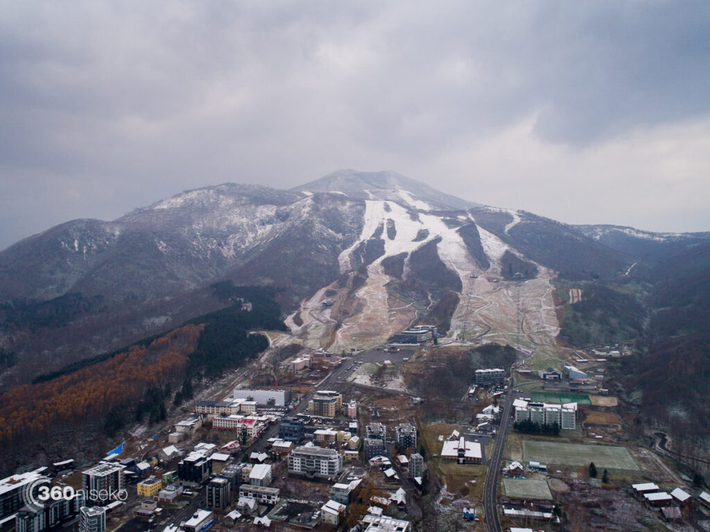
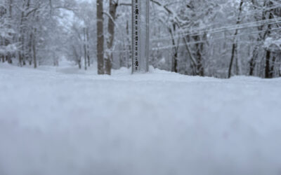
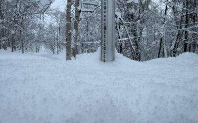
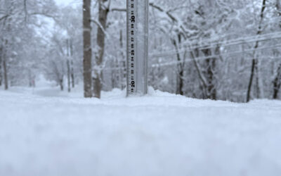
*0.5cm has fallen in the last 24 hours in Niseko. At 7:00 today the temperature was 0°C. On Friday evening a strong cold front moved into the region coupled with strong winds and heavy rainfall at lower elevations but higher up on the mountain there was a solid layer of snow. We had another cold night and this morning have been treated to our first light layer of snowfall down to lower elevations allowing us to capture our first snow station shot 😉 Temperatures look set to rise from tomorrow but we could see a return of fresh snowfall into next weekend. When we will see first tracks is anyone’s guess.
Weekend Snowfall Gallery – Nov 4
A selection of shots taken in Niseko over the last 2 days.
Niseko Village Higashiyama & Niseko Annupuri, 4 November 2017 from 360niseko on Vimeo.
Weekend Snowfall Gallery – Nov 5
Images and Video by Glen Claydon Photography
Useful information from other places
- JMA’s six hour precipitation forecast, possibly the most accurate weather map
- Snow Forecast 6 day weather summary
- The latest Niseko avalanche report.
- Please follow the Niseko Rules.
