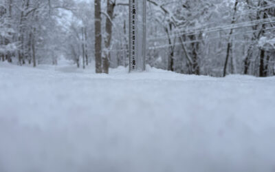
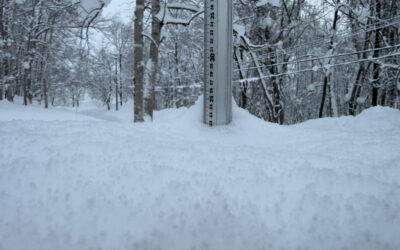
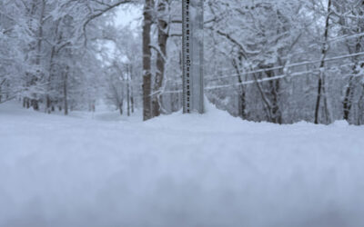
*.5cm of fresh snow has fallen in the last 24hrs in Hirafu Village. At 7:40 today the temperature was 2°C.
Freeze Thaw Thaw Freeze! Yesterdays warmer conditions caused havoc around the region with the roads in bad condition. The recent snowfall melted rapidly causing deep trenches to form. Overnight yesterdays melt has turned to ice so be careful out there. Our snow station has a solid layer of ice 5mm thick on it!
The good news is that it looks like at higher elevations there should be some great snow if you can sniff it out! Try jumping on the Triple Hooded lift and hitting Rinkan….if it is running that is as the wind is still strong at village level. Light snowfall is predicted later in the day so hopefully a reset won’t be too far off.
Useful information from other places
- Snow depth at the peak, 200cm
- Snow depth at the base, 75cm
- Accumulative snow fall to date, 300cm
- JMA’s six hour precipitation forecast, possibly the most accurate weather map
Snow Forecast
Get more information on Snow-Forecast.com.
Niseko snow fall data
The 360niseko snow fall data is licensed under a Creative Commons Attribution 3.0 Unported License. Feel free to use it for personal or commercial purposes and if you publish it please credit 360niseko by providing a link back to the website.


