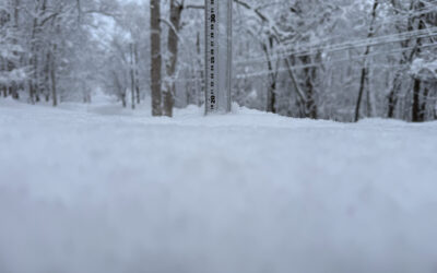
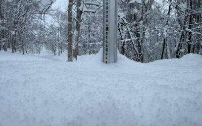
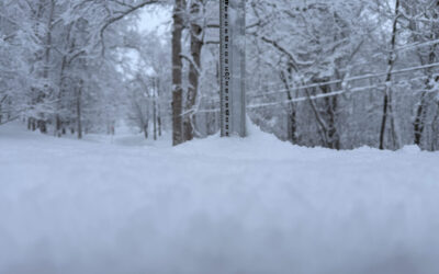
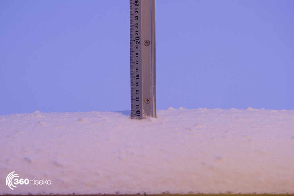
* 9.5 cm has fallen in the last 24 hours in Niseko, note the conditions in the report. At 6:00 am today the temperature was – 8.6 °C.
Yesterdays storm arrived in a really blunt manner and in a matter of several minutes conditions changed from no wind and light rain to gale force wind and blizzard conditions. We have also had the coresponding temp drop. As a consequence todays snowfall figures (what we record on the station) are probably not a true indication of what has fallen as the super strong wind did not allow snow to settle on flat surfaces that are unprotected. It’s quite possible that some drifted areas will have closer to 80cms, the snow will also be compacted and fast in non drifted areas, have a look at the pic from today and you can see the difference to our normal fluffy pow. Snow is forecast to fall for the next 3-5 days and as the wind settles down there is going to be all sorts of stellar riding out there. Bear in mind that the most dangerous snow stability conditions are right after a storm with lots of wind and warm wet freeze thaw temps (which we have just had) we have not read the report but imagine that conditions are going to be pretty dangerous for the next 24 hours at least so check the avie report if you are planning on anything non resort based. Also keep a close eye on the Niseko United Website and the lift status as some lifts will be running and some will be on wind hold so it’s going to be a matter of picking your location wisely.
The live cam is perfect to give you an up to the minute snapshot of what’s falling.
Niseko Snowfall 26_12_2017
Useful information from other places
- Accumulative snow fall to date in Niseko, 562.5cm
- Snow depth at the peak, 285cm
- Snow depth at the base, 135cm
- Real time lift operations.
- JMA’s six hour precipitation forecast, possibly the most accurate weather map
- Snow Forecast 6 day weather summary
- The latest Niseko avalanche report.
- Please follow the Niseko Rules.
Live Web Cam from Hirafu Village
Snow Forecast
360niseko Snow Station Readings Disclaimer
The 360niseko now has 2 snow stations for the 2017-18 season in Higashiyama at 200m and 300m *The Hirafu Gondola is at 305m. Please be aware that this new reading is NOT in Hirafu village but a few kilometers down the road. There is always a deviation how and where the snow falls – the area is famous for micro climates and mini weather patterns. Some days there may be 10cm in Annupuri and 25cm in Hanazono and vice versa – some days 30cm of fresh snowfall comes down everywhere!! Altitude plays a big part as well so please don’t take the 360niseko snow readings as being definitive – the readings are what is outside our houses on the ground.